source of reference: the aerial photography of the Geographical Survey Institute
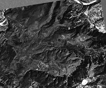
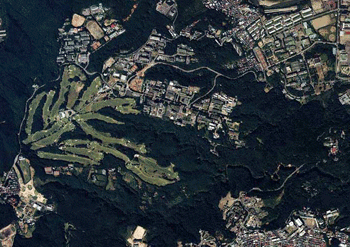
1947 (before the golf course construction)
Until the end of the war, Aobayama was used as a firing range (practice place) of the army gunner corps.
The barracks of the second division of the army were left in Kawauchi (the photograph upper right).
And on loewer right of the photograph, you can see a baceball ground (George Herman "Babe" Ruth, Jr. played here. And now there is Yagiyama Zoological Park.).
In Aobayama, the trace of the vegitable field is seen, and most trees were felled.
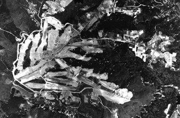
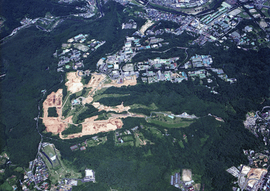
1961 (during the golf course construction)
Right : There were farmlands on Aobayama.
Left : The new golf course was under construction.
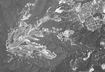
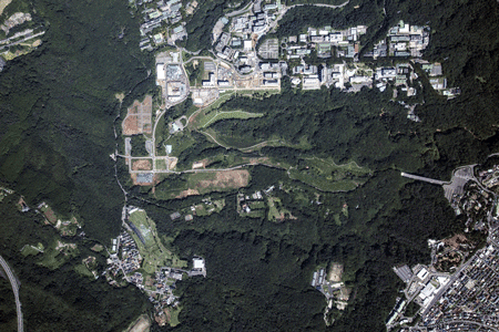
1964 (after the golf course construction)
Center right : The construction of building for Department of Engineering was started.
Upper right : In Kawauchi Campus, you can see the Kawauchi Memorial Auditorium & Matsushita Memorial Hall built in 1960.
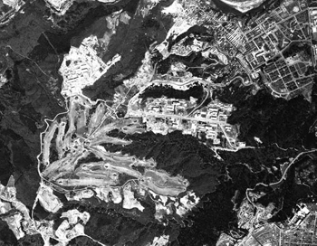
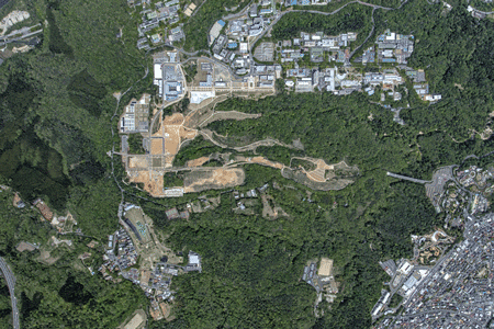
1968 (during Aobayama East Campus construction)
Center : Most of buildings for Department of Engineering was built (except school of architecture and civil engineering).
Upper right : In Kawauchi Campus, you can see some new buildings.
Upper left : You can see some new buildings of Miyagi University of Education.
Lower right : The development of Yagiyama advanced.
Also trees grew up.
1993
The trees of Aobayama grew up more and the row of zelkovas in Aobayama East Campus also grew up.
2009
Left : The construction of Aobayama New Campus was started in fairway of former golf course.
Center : The construction of Aobayama station for subway was started.
2015
Upper right : The buildings which suffered from the Great East Japan Earthquake (2011) was rebuilt in Aobayama East Campus.
Upper center : H04 Science Complex C was built in Aobayama North Campus.
Upper left : J41 Aobayama Commons and K01 Multidisciprinary Research Laboratory for Agricultural Science was under construction.

